Kicking off Greenland Science Week
Today I attended the Cryosphere Seminar that is part of Greenland Science Week. The event took place in the Nuuk High School, and many students were in attendance. It’s great to see younger folks with an interest in the cryosphere and science, although many of the students seemed antsy for the seminar to be over by its end! I did get a chance to speak with a couple of students who thought it was interesting that so many people were here to talk about snow and ice - they had no idea there was so much to know and study!
For those students that did have an interest in the field, representatives from the Students on Ice Foundation (SOI) were present and provided an overview of their mission and plans for an upcoming expidention along Greenland’s coast. The SOI strives to put students in the field with experts to have hands-on experience with cryospheric science (e.g., digging snow pits, taking water samples, drilling ice cores, etc). I wish I had an opportunity to do something like this as a high school student!
Other partcipants at the seminar gave talks on subjects like how the ice sheet has evolved over time, the pedagogy of snow and ice in Greenland, how glaciers and melt from the icesheet interact with coastal environments, and the hydrology of the ice sheet. One of my favorite talks was about marginal ice lakes, and how they can burst and cause massive flooding in downstream areas.
After the seminar, I had the chance to chat with others in attendance. I was pleased to hear that many of the people I spoke with had not only heard of QGreenland, but actively use it! One person I spoke with told me that they “never go to the field without QGreenland on a flashdrive”. Another, a research assistant professor at the University of Texas, told me that all of his students use QGreenland and find it useful for their work. It’s such a huge motivational boost to hear that QGreenland has been so impactful.
And as I write this, I realize I have not said much about what QGreenland actually is in this blog. In short, QGreenland is a free and open-source data package focused on Greenland for QGIS, a Geographic Information System (GIS) software package. To put it even more simply, QGreenland is a bunch of geographic data about Greenland formatted for software that makes it easy to analyze that data and make maps.
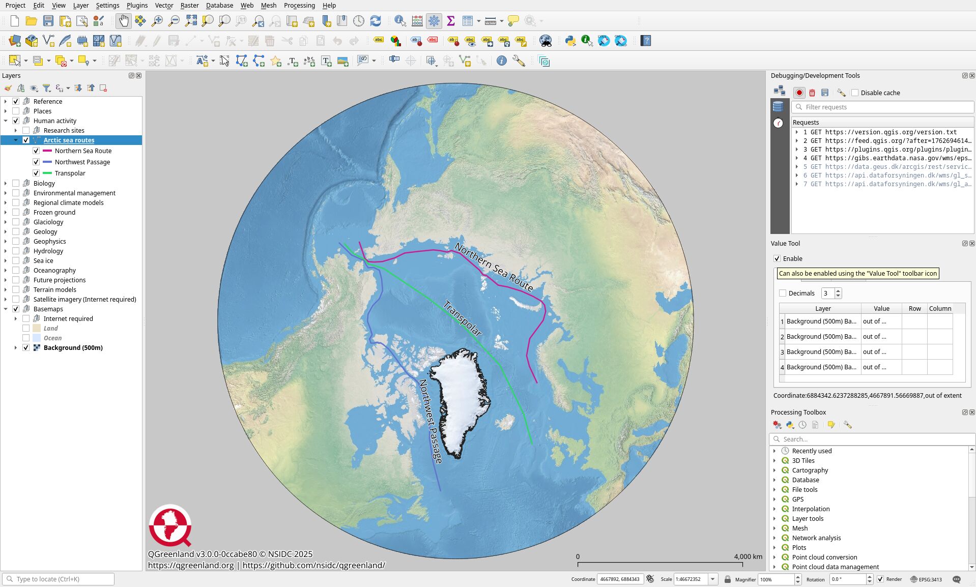
QGreenland was originally inspired by a similar package for Antarctica: Quantarctica. My role in QGreenland is as a software developer who has worked to automate the data package creation process and to curate the various datasets included in QGreenland so that they work seamlessly with QGIS.
QGreenland is used by a wide audience:
- Educators use QGreenland to teach about the Arctic and Greenland, and geographic information science. In addition to the data package, the QGreenland project has produced tutorials and curricula for high-school and graduate classrooms.
- Researchers who want to make maps of their own data alongside reference data included in QGreenland.
- Scientists who work in the field use QGreenland to help plan their surveys. QGreenland is able to be used completely offline, which is important in the Arctic where internet access can be very limited or non-existant.
QGreenland was developed from a National Science Foundation (NSF) grant from 2019 to 2023. I am now funded by another NSF grant, QGreenland-Net, which is a collaboration with the NSF Arctic Data Center to expand access to data about Greenland through the development of new cloud-based tools and an ADC-hosted QGreenland data portal that connects to ~47k datasets about Greenland. My team will be presenting a poster and a talk about QGreenland-Net during the Greenland Science Week conference on Wednesday and Thursday of this week.
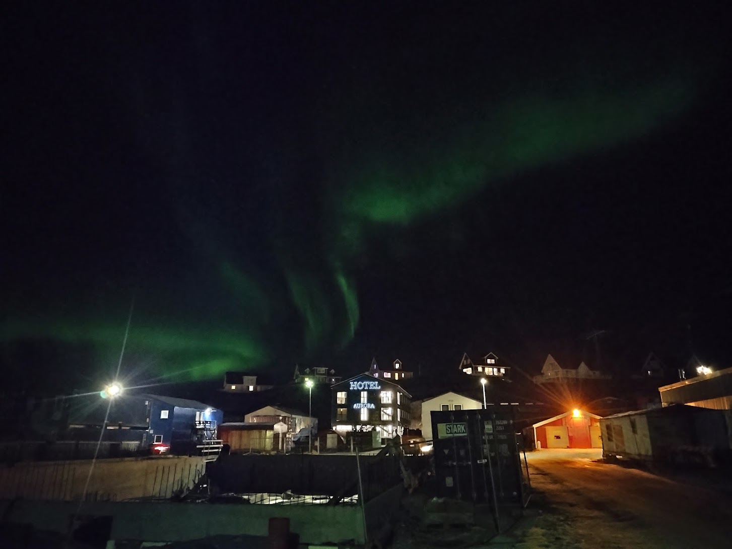
To cap off the day, I once again saw the northern lights!